
Friday 28 February 2025
LAHS Public Heritage Fund Grant for the Historic Towns Trust
This grant will help to create a large-scale historical map of central Leicester, in digital and fold-out-paper form.
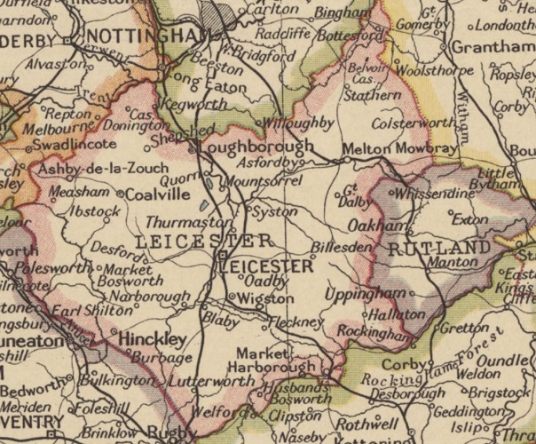
Leicestershire and Rutland. England and Wales map (1937) London Geographical Institute, rec 11501 Reproduced by permission National Library of Scotland under Creative Commons Licence CC-BY. 4.0 https://maps.nls.uk/view/245958343
This funding will go towards the creation and publication of a large-scale map of central Leicester, in digital and fold-out-paper form, reflecting the city’s unique history from pre-Roman times to the early twentieth century. The map will be available for purchase and its digital version will be used as a free school and community resource.
The fold-out sheet map, and digital versions will reveal the layered history of the city centre with 19th
century industrial buildings shown side-by-side with Roman, Saxon and medieval archaeological sites. The map will pull together the most recent knowledge of Leicester’s history in one resource, showing the exact locations of historic sites, rivers, streets, fortifications, and religious and notable secular buildings.
In addition, the project will also feature outreach activities with the general public as well as school children and individual communities from the city, in order to reach as broader audience as possible and to celebrate Leicester’s history. The publication will also be made in digital files that have the potential to broaden our audience further.
For further information on the Historic Towns Trust's work please visit their website here.
If you feel your Society or project could benefit from the Public Heritage Fund, please get in touch!
Leicestershire and Rutland. England and Wales map (1937) London Geographical Institute, rec 11501 Reproduced by permission National Library of Scotland under Creative Commons Licence CC-BY. 4.0 https://maps.nls.uk/view/245958343
